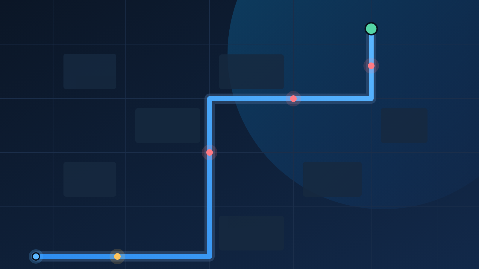
FlockDetour does not run a camera-spotting network of its own and does not buy a proprietary feed. Every marker on the map comes from a source that was already public before we touched it, which means anybody can check our work — and correct it at the source when we are wrong.
The ALPR layer: OpenStreetMap
The automated license-plate readers are the layer people care about most, and they come from OpenStreetMap. Mappers who spot a reader on a pole tag the node with man_made=surveillance, surveillance:type=ALPR, and where they can identify it, an operator such as Flock Safety. We pull those nodes through the Overpass API and ship the snapshot with the app.
That has three consequences worth understanding:
- The data is ODbL-licensed. It is not ours to lock up, and the attribution — Map data © OpenStreetMap contributors — appears on every surface that renders it.
- Coverage is uneven by design. OpenStreetMap is strongest where mappers are active. A dense grid of dots in one city and a blank county next door usually says more about who is mapping than about who is watching.
- Corrections belong upstream. If a reader has been removed, the durable fix is an edit in OpenStreetMap, not a private note in our database. Fix it there and it propagates to every project that reads the same tags.
The traffic-enforcement layer: city open data
Red-light and fixed speed cameras come from municipal open-data portals, where they exist. Chicago, for instance, publishes both its red-light and speed-camera locations with the intersection, coordinates and the date each camera went live. These datasets are typically better maintained than crowd-sourced tags because the city has its own reasons to keep them accurate.
Where a city publishes nothing, we have nothing. There is no interpolation step that guesses at a camera because one seems likely.
The context layer: vendor transparency pages
Flock Safety publishes transparency pages for many of the agencies that deploy its hardware. Those pages carry the numbers an agency has agreed to disclose: how long footage is retained, how many cameras it owns, how many outside organizations it shares with, and how many searches were run in a recent window.
We index those pages so the map can answer the second question people ask after where are the cameras — namely who is running them, and what have they said about it. The values are the operator's own published figures. We do not adjust them, and we link back to the portal so you can read the original.
A dot on this map is a claim that somebody, somewhere, published a location. It is not a claim that we verified the camera ourselves.
What this means when you use the map
Treat the dataset as a floor rather than a ceiling. It shows cameras that have been documented — which is a strict subset of cameras that exist. A route that avoids every dot has avoided every known reader, and that is a genuinely different thing from a route that avoids every reader.
That distinction is why the app never promises a surveillance-free trip, and why the detour comparison always shows you what you are trading for what.